
Sun Position Calculator
Where will the sun be at 4 pm on your patio in December? Pick a place, date and time and this calculator gives the sun’s compass direction and height, how long shadows will be, and when it rises and sets — with a chart of the whole day’s path compared with midsummer and midwinter.
- Free to use
- No sign-up
- Runs in your browser
Sun position calculator
Sun Path and Site Planning Pack
Blank sun path charts, a garden sun-mapping worksheet, a shadow length table by elevation, a solar site assessment checklist and a photography sun planner.
- Sun path charts (PDF)
- Sun-mapping worksheet (PDF/DOCX/XLSX)
- Shadow table (PDF/DOCX)
- Solar checklist (PDF/DOCX)
- Photo planner (PDF/DOCX/XLSX)
Formats: PDF, DOCX, XLSX. Instant download after payment (link valid 72 hours, up to 5 downloads). AI-assisted: the templates were drafted with AI help and reviewed and laid out before publishing.
$5.00 USD, one-time 5 files · about $1.00 each
- Instant download
- 7-day refund
- Secure checkout by Stripe
7-day money-back guarantee. Full refund within 7 days of purchase, even after you download.
Free sample: Blank Sun Path Chart (PDF, 52 KB)
Full refund within 7 days — see the refund policy and license.
Free printables
Single sheets you can print right now, no sign-up. The full pack adds every sheet in one download plus the editable files.
 Printable Sun Path Chart
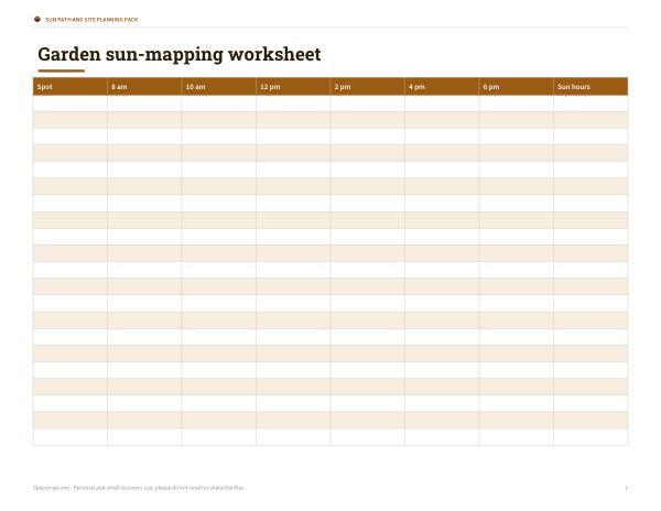 Printable Sun-Mapping Worksheet
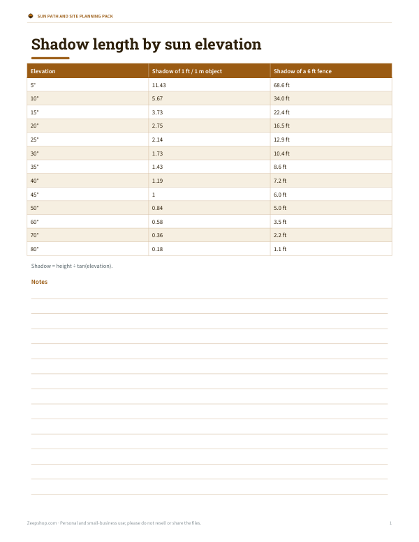 Printable Shadow Length Table
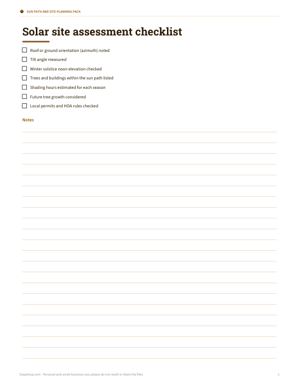 Printable Solar Site Assessment Checklist
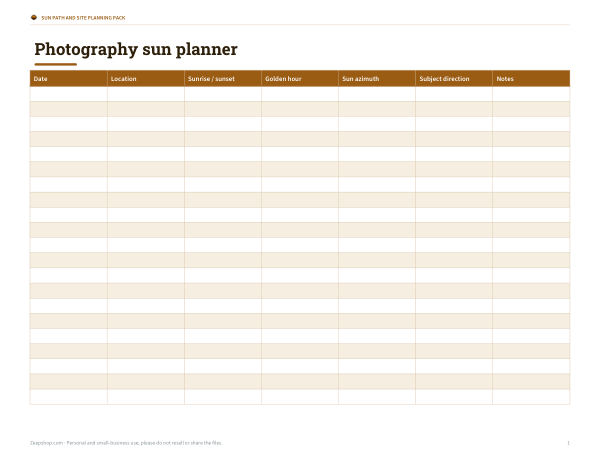 Printable Photography Sun Planner
Azimuth and elevation
The sun’s position in the sky is described by two angles. Azimuth is the compass direction, measured clockwise from true north: 90° is due east, 180° due south and 270° due west. Elevation (or altitude) is the angle above the horizon: 0° at sunrise and sunset, and highest at solar noon. From these two numbers you can work out where shadows fall, whether a tree will shade a window, and which way to point a solar panel or camera.
Worked example
In New York on the June solstice at noon daylight time, the calculator puts the sun at about 140° azimuth and 69° elevation — a 6 ft fence casts a shadow only about 2.3 ft long. On the December solstice at noon standard time, the sun is at about 182° and just 26° high, and the same fence throws a shadow about 12.4 ft long. That difference explains why a garden bed that is sunny all summer can sit in shade all winter.
How high does the sun get?
| Latitude | June solstice noon | Equinox noon | December solstice noon |
|---|---|---|---|
| 0° N | 66.6° | 90.0° | 66.6° |
| 20° N | 86.6° | 70.0° | 46.6° |
| 30° N | 83.4° | 60.0° | 36.6° |
| 40° N | 73.4° | 50.0° | 26.6° |
| 50° N | 63.4° | 40.0° | 16.6° |
| 60° N | 53.4° | 30.0° | 6.6° |
At solar noon the sun’s elevation is 90° − |latitude − declination|. The declination swings between about +23.44° in June and −23.44° in December. South of the equator the pattern reverses.
Solar noon isn’t 12:00
Clock time follows time zones, which are wide bands; the sun follows your exact longitude. Solar noon is when the sun crosses due south (or due north in the southern hemisphere), and it can be an hour or more away from 12:00 — especially in daylight saving time or at the edges of a time zone. The equation of time adds another shift of up to about 16 minutes through the year because Earth’s orbit is elliptical and its axis tilted.
Reading the sun path chart
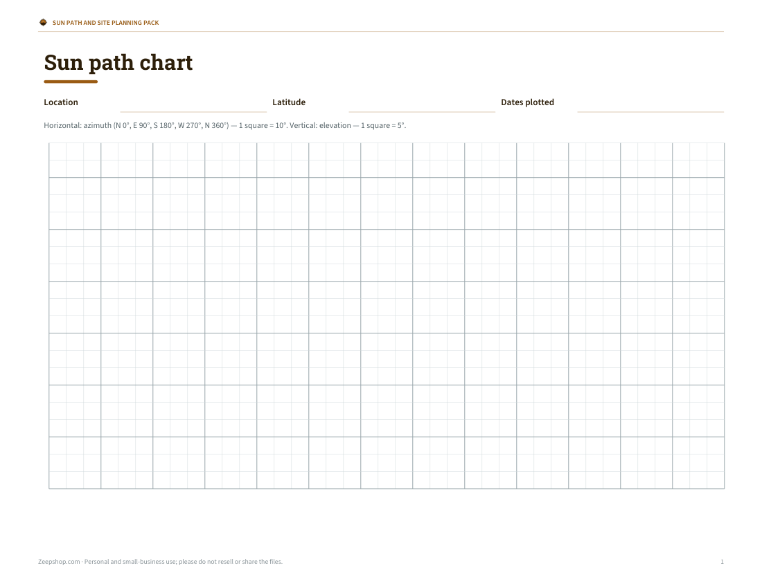
The chart plots the sun’s elevation against its compass direction through the whole day. The red curve is the date you chose; the orange and blue curves are the June and December solstices, which bound every other day of the year. In the northern mid-latitudes the summer path starts in the north-east, climbs high in the south and sets in the north-west, while the winter path is a low arc from south-east to south-west. To check whether a tree or building will block the sun, measure its direction with a compass (corrected to true north) and its height angle with a clinometer app, then see whether that point falls under the curve.
Sunrise, sunset and twilight
| Event | Sun’s centre below horizon | What you see |
|---|---|---|
| Sunrise / sunset | 0.833° (includes refraction and the sun’s radius) | Top edge of the sun on the horizon |
| Civil twilight | 0–6° | Bright enough for most outdoor activities |
| Nautical twilight | 6–12° | Horizon still visible at sea |
| Astronomical twilight | 12–18° | Sky nearly fully dark |
Sunrise and sunset times assume a flat, sea-level horizon. Hills, buildings and trees delay sunrise and bring sunset forward, and high elevation lets you see a little further.
Golden hour and photography
Photographers prize the time when the sun is low — roughly below 6–10° elevation — because the light is warm, soft and casts long shadows. Use the chart to see when the sun drops below that height and in which direction it will be, so you can position your subject with the light behind, beside or in front of it. The azimuth at sunset tells you whether the sun will set behind a landmark from where you plan to stand.
Uses for sun position
- Gardening: find beds with 6+ hours of direct sun.
- Solar panels: see how high the winter sun gets and whether trees will shade the array.
- Photography: plan golden hour and where the sun sets behind a landmark.
- Architecture: size overhangs to shade summer sun but let in winter sun.
- Outdoor events: place seating and stages out of the glare.
What’s in the template pack
- Printable blank sun path charts (azimuth vs elevation) for plotting your own site
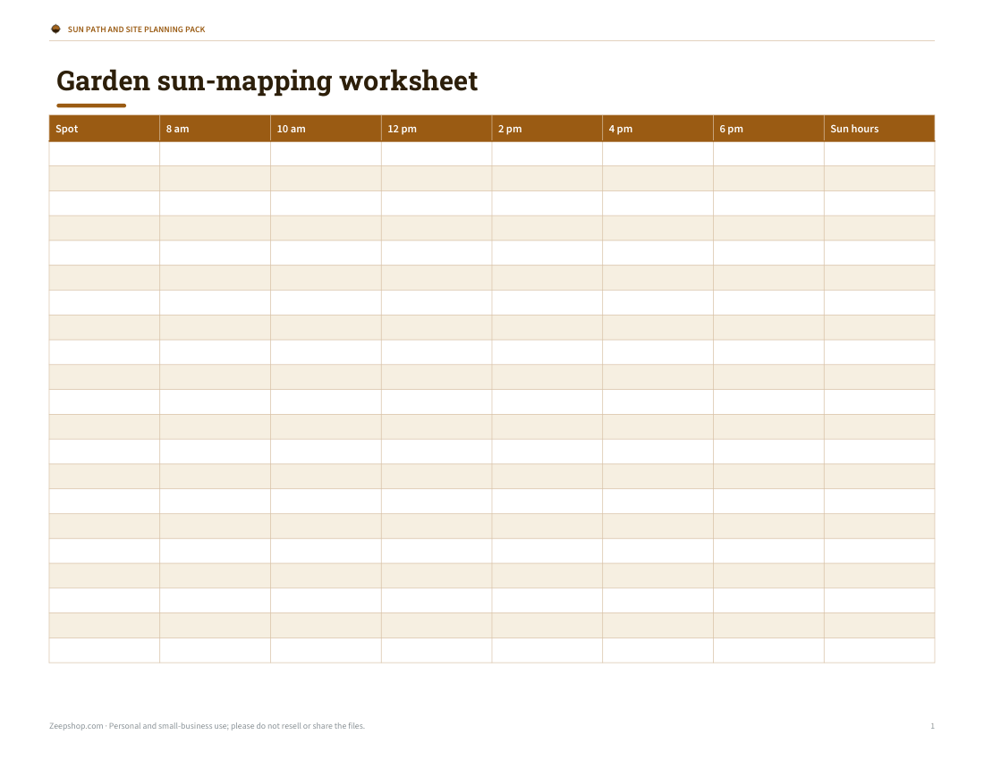
- Garden sun-mapping worksheet (hour-by-hour sun and shade)
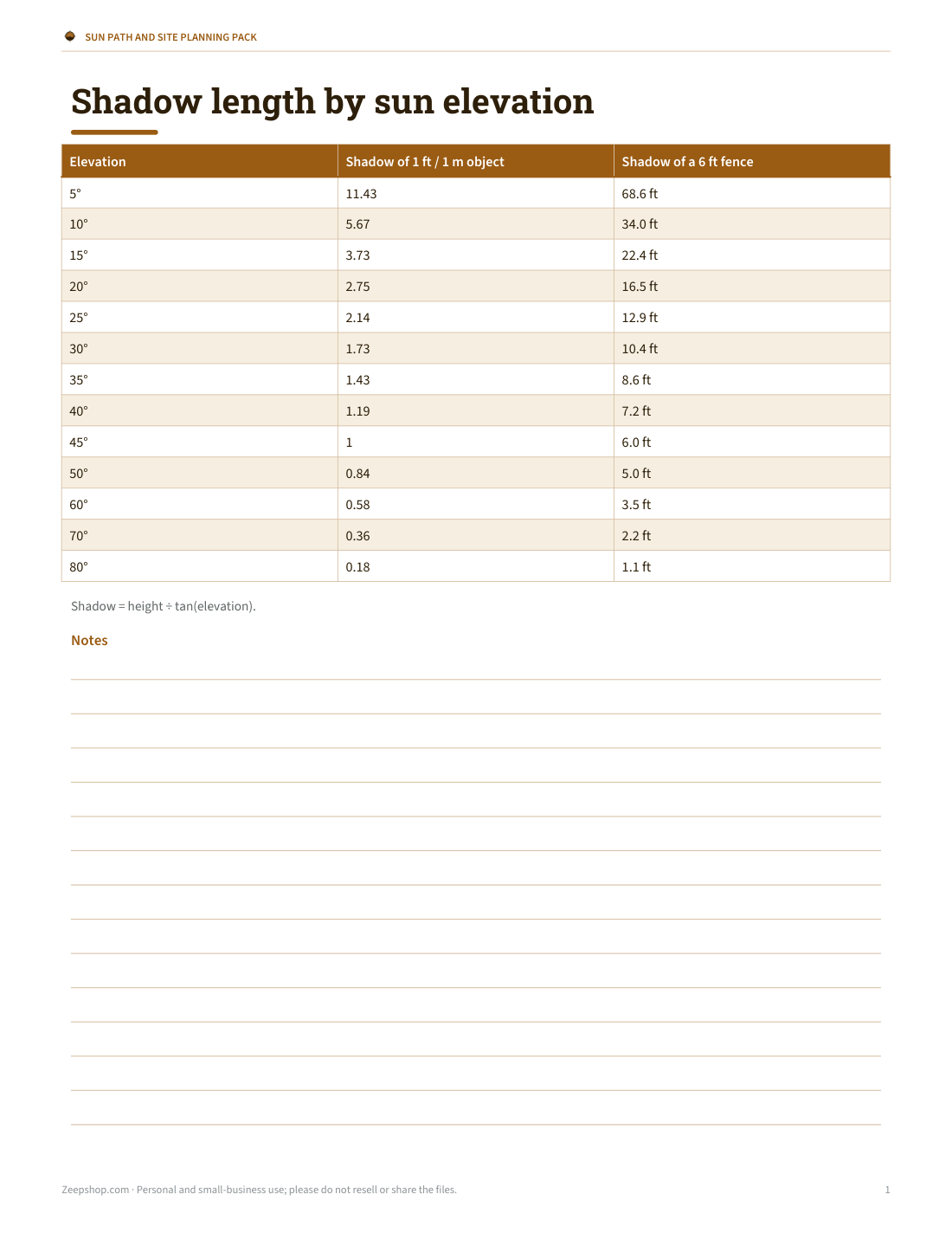
- Shadow length table by sun elevation
- Solar site assessment checklist
- Photography sun and golden-hour planner
The calculator is free; the pack is a one-time download.
AI-assisted content
This page and the templates were drafted with AI assistance and reviewed before publishing. Positions use the NOAA-style solar equations and are typically accurate to within a fraction of a degree for planning purposes.
Frequently asked questions
What is solar azimuth?
The sun’s compass direction, measured clockwise from true north.
What is solar elevation?
The sun’s angle above the horizon.
How do I calculate shadow length?
Shadow length = object height ÷ tan(elevation).
Why is solar noon not at 12:00?
Time zones, daylight saving and the equation of time all shift it.
Is azimuth true north or magnetic north?
True north; adjust a compass for magnetic declination.
What is the equation of time?
The difference between sundial time and clock time, up to about 16 minutes, caused by Earth’s tilted, elliptical orbit.
How accurate are the times?
Typically within a minute or two for sunrise and sunset at a flat horizon.
Is the pack a subscription?
No, it’s a one-time download.